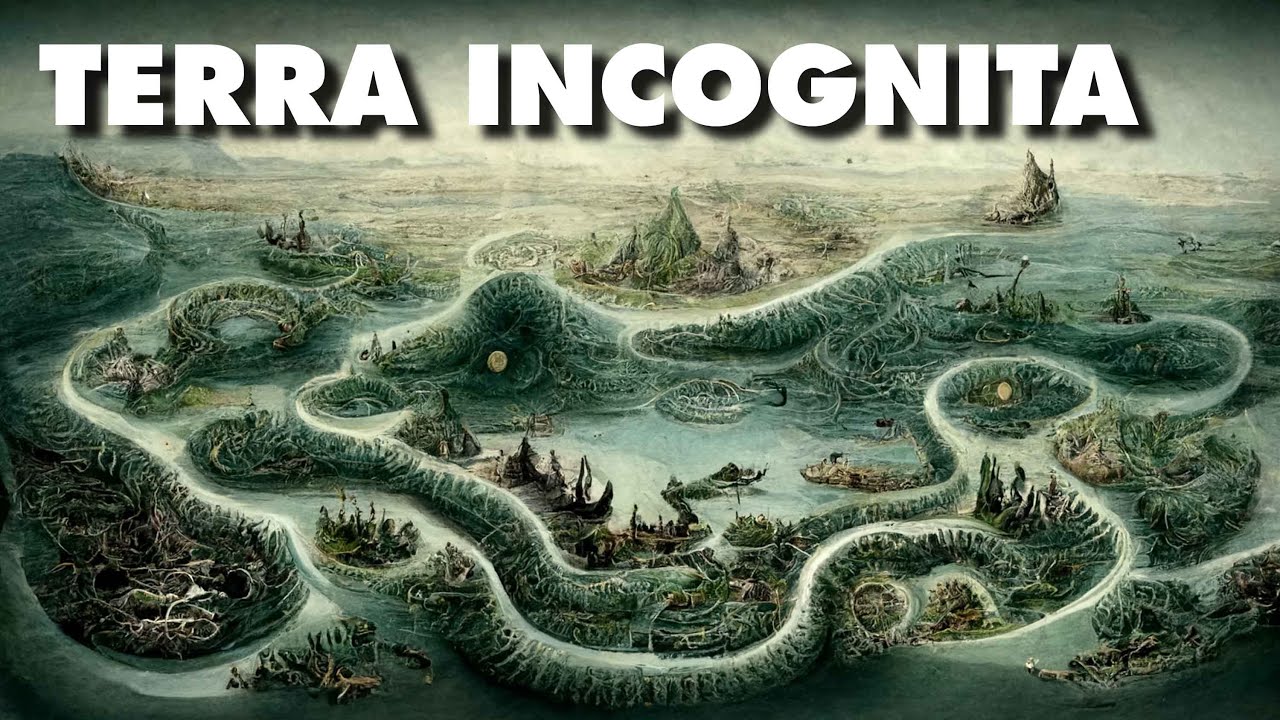
Les limites du monde connu: TERRA INCOGNITA
Keywords
Summary
186 words
Critical Evaluation
Value of the Information & Strength of the Argument
The video offers valuable insights into the history of cartography, effectively demonstrating how maps reflect cultural and political perspectives. The argumentation is coherent, progressing chronologically and logically from ancient to modern times. It successfully conveys the idea that ‘Terra Incognita’ is not just a geographical concept but also a psychological and symbolic one, as seen in the discussion of Cape Bojador. The narrative is engaging and well-supported by visual examples of historical maps, enhancing the educational value. However, the video occasionally simplifies complex historical contexts and relies on anecdotal evidence, which may limit its depth for a specialized audience.
Scientific Rigor, Source Quality, Title Accuracy
The video demonstrates a good level of scientific rigor by referencing a variety of sources, including the Bibliothèque nationale de France (BNF), Wikiwand articles, and academic platforms like Wikiversity. The creator acknowledges potential anachronisms in the map order, which shows transparency. The title accurately reflects the content, focusing on the concept of ‘Terra Incognita’ and its evolution. The sources are credible and relevant, though some are popularized rather than primary academic sources. The video’s strength lies in its visual presentation and narrative, which effectively supports the historical narrative. The adéquation between title and content is strong, as the video thoroughly explores the limits of the known world through cartography.
223 words
Title / Content Match
The title accurately reflects the content, which explores the concept of 'Terra Incognita' through the history of mapmaking and the limits of known world.
Quality & Reliability
7/10
The video provides a well-structured historical overview of cartography, referencing multiple credible sources (BNF, Wikiwand, academic platforms). However, it includes some anachronisms and simplifications, and the creator acknowledges potential inaccuracies in the order of maps. The scientific rigor is good for a popularization context, but not exhaustive.
Key Moments
Markers derived by PSI from the transcript: the creator did not define chapters.
- Introduction to the concept of Terra Incognita and the phrase 'Hic sunt dracones'.
- Presentation of the Babylonian world map and early Greek maps by Anaximander and Hecataeus.
- Eratosthenes' improved map and Ptolemy's foundational work in cartography.
- The Roman Peutinger Table and the loss of Greek knowledge in medieval Europe.
- Medieval Christian maps, Al-Idrisi's contributions, and the emergence of portolan charts.
- Renaissance rediscovery of Ptolemy, mythical creatures, and the psychological barrier of Cape Bojador.
- Portuguese explorations, Zheng He's voyages, and the Age of Discovery.
- Mapping of the Americas and Australia, and the persistence of Terra Incognita in polar regions.
- Conclusion: modern unknowns in the deep oceans and the cosmos, and sponsor message.
Cited Sources
- Chronologie des explorations — Reference for the timeline of explorations.
- Cartes anciennes - BnF — Source for historical maps.
- Mappemondes anciennes — Reference for ancient world maps.
- Représentations et cartes du monde/Histoire de la carte — Academic source on the history of maps.
- Cartes anciennes - Liste divers — Source for Ptolemy's map.
- Le géocentrisme : la Terre au centre de l'Univers — Reference for geocentrism.
- Le cap Bojador : quand une légende freine l'expansion coloniale — Source for the legend of Cape Bojador.
- Exposition BnF - Marine — Reference for maritime maps.
- 12 Maps That Changed the World — Source for influential maps.
- Cynocéphalie — Reference for mythical creatures.
- Cap Boujdour — Reference for Cape Boujdour.
- Abysse — Reference for deep sea.
- Carte mondiale des fonds marins — Source for bathymetric maps.
- Fonds marins : 75% des zones très profondes restent inexplorées — Source for unexplored deep sea.
- De l'Antiquité à Google Maps : la cartographie, miroir du pouvoir — Reference for cartography and power.
- Carte babylonienne du monde — Reference for Babylonian map.
- Zheng He — Reference for Zheng He's expeditions.
Concurring Sources
- History of cartography — General reference supporting the historical narrative.
- Terra incognita — Definition and usage of the term.
- Age of Discovery — Context for the explorations discussed.
External References
Contribution & Novelties
The video provides an engaging and visually rich overview of the history of cartography, emphasizing the concept of ‘Terra Incognita’ as a recurring theme. It connects historical maps to modern unknowns, such as the deep oceans and the cosmos, offering a fresh perspective on the evolution of human knowledge. The narrative is accessible and well-structured, making complex historical developments understandable to a broad audience.
Pour aller plus loin :
- History of cartography — Comprehensive overview of the field.
- Terra incognita — Definition and historical usage.
- Age of Discovery — Context for European explorations.
- Bathymetry — Study of underwater depth, relevant to modern unknowns.
- Observable universe — Concept of cosmic horizon.
110 words
Radar Profile
The radar profile shows high scores in quantity of information and technical level, indicating a content-rich video with a moderate depth. The quality and reliability scores are slightly lower, reflecting the popularization nature and minor inaccuracies. Overall, the video is informative and well-presented, with a balanced profile.
💬 Très positif. Sur les 30 commentaires analysés, tous expriment une admiration unanime pour la qualité de la vidéo, la narration, et l'esthétique, sans aucune critique négative.